
Ficheiro:Atlantis map 1882 crop.jpg
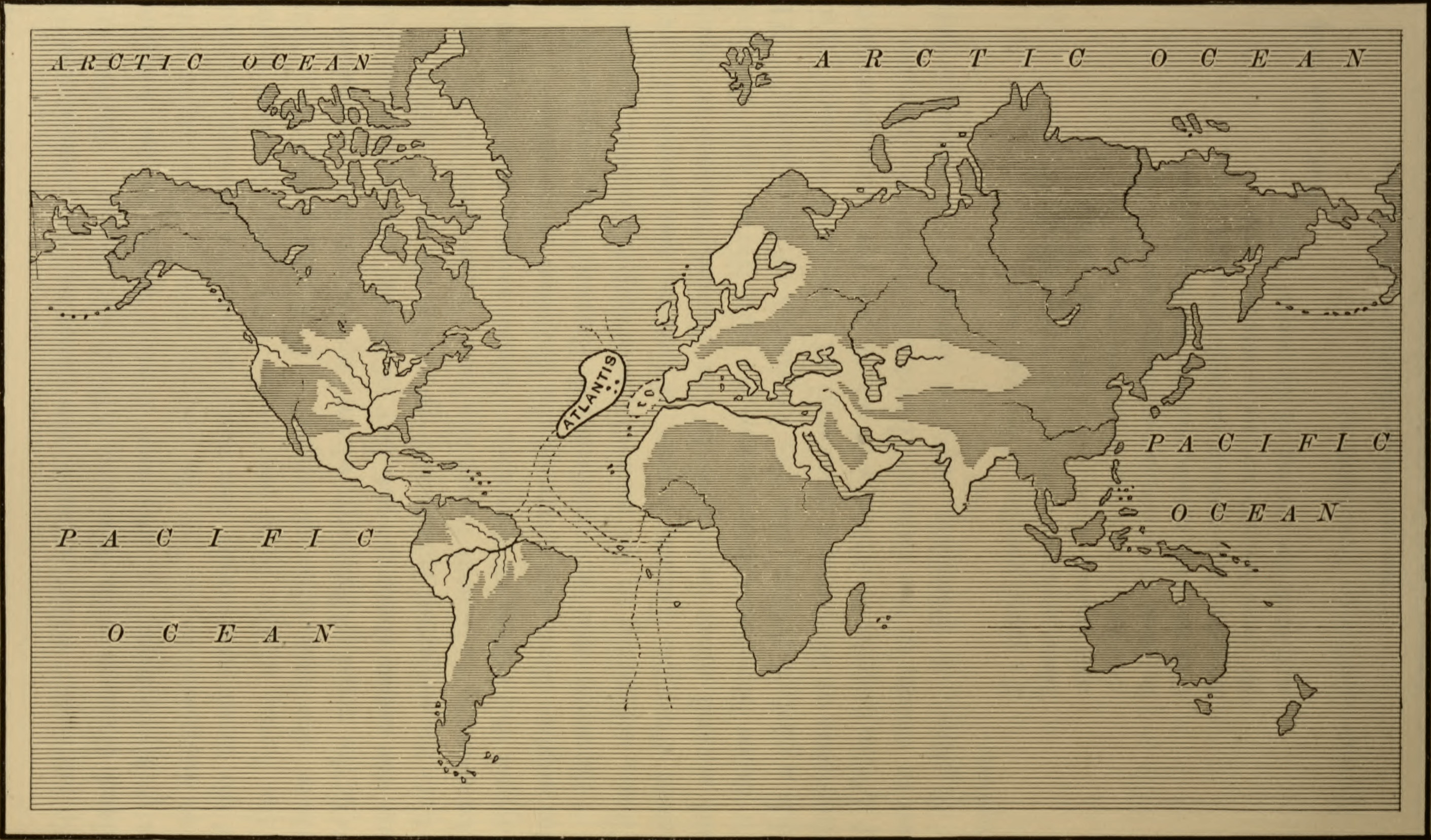
Imagem numa resolução maior (2 821 × 1 657 píxeis, tamanho: 1,06 MB, tipo MIME: image/jpeg)
|
|
Esta imagem provém do Wikimedia Commons, um acervo de conteúdo livre da Wikimedia Foundation que pode ser utilizado por outros projetos.
|
Descrição do ficheiro
| Descrição | Map of the Atlantean Empire, from Ignatius Donelly's Atlantis: the Antediluvian World, 1882. | ||
| Data | |||
| Origem |
|
||
| Autor | Ignatius Donnelly; cropped by Beyond My Ken (talk) 22:14, 28 September 2010 (UTC) | ||
| Outras versões |


Licenciamento
|
Esta obra está no domínio público no seu país de origem e noutros países e áreas onde o período de proteção dos direitos de autor é igual ou inferior à vida do autor mais 70 anos.
| |
| Este ficheiro foi considerado livre de restrições conhecidas devidas a direitos de autor, incluindo todos os direitos conexos. | |
Histórico do ficheiro
Clique uma data e hora para ver o ficheiro tal como ele se encontrava nessa altura.
| Data e hora | Miniatura | Dimensões | Utilizador | Comentário | |
|---|---|---|---|---|---|
| atual | 22h29min de 4 de novembro de 2020 | | 2 821 × 1 657 (1,06 MB) | Sette-quattro | higher quality |
| 22h14min de 28 de setembro de 2010 |  | 595 × 330 (52 kB) | Beyond My Ken | {{Information |Description=Map of the Atlantean Empire, from Ignatius Donelly's Atlantis: the Antediluvian World, 1882. |Source=Image from the Library of Congress, http://lcweb2.loc.gov/cgi-bin/query/D?ils:1:./temp/~pp_aA2u::@@@mdb=fsaall,app,brum,detr,s |
Utilização local do ficheiro
A seguinte página usa este ficheiro:
Utilização global do ficheiro
As seguintes wikis usam este ficheiro:
- ar.wikiversity.org
- az.wikipedia.org
- en.wikipedia.org
- he.wikipedia.org
- ia.wikipedia.org
- id.wikipedia.org
- ja.wikipedia.org
- my.wikipedia.org
- uk.wikipedia.org
- www.wikidata.org