
Ficheiro:Golan location map 2.PNG

Dimensões desta antevisão: 759 × 599 píxeis. Outras resoluções: 304 × 240 píxeis | 608 × 480 píxeis | 936 × 739 píxeis.
Imagem numa resolução maior (936 × 739 píxeis, tamanho: 140 kB, tipo MIME: image/png)
|
|
Esta imagem provém do Wikimedia Commons, um acervo de conteúdo livre da Wikimedia Foundation que pode ser utilizado por outros projetos.
|
Descrição do ficheiro
| Descrição |
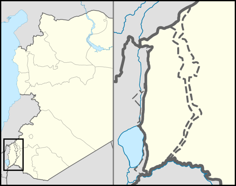
English: Location map of the Golan Heights. |
| Data | |
| Origem | |
| Autor | |
| Permissão (Reutilizar este ficheiro) |
Creative Commons Attribution-Share Alike 3.0 Unported |
| Outras versões | File:Golan location map 3.PNG |
Licenciamento
A utilização deste ficheiro é regulada nos termos da licença Creative Commons - Atribuição 3.0 Não Adaptada.
- Pode:
- partilhar – copiar, distribuir e transmitir a obra
- recombinar – criar obras derivadas
- De acordo com as seguintes condições:
- atribuição – Tem de fazer a devida atribuição da autoria, fornecer uma hiperligação para a licença e indicar se foram feitas alterações. Pode fazê-lo de qualquer forma razoável, mas não de forma a sugerir que o licenciador o apoia ou subscreve o seu uso da obra.
Histórico do ficheiro
Clique uma data e hora para ver o ficheiro tal como ele se encontrava nessa altura.
| Data e hora | Miniatura | Dimensões | Utilizador | Comentário | |
|---|---|---|---|---|---|
| atual | 23h07min de 30 de outubro de 2012 | | 936 × 739 (140 kB) | LtPowers | Reverted to version as of 21:06, 10 November 2011 |
| 19h19min de 30 de outubro de 2012 |  | 925 × 739 (146 kB) | HonorTheKing | Reverted to version as of 19:37, 10 November 2011 | |
| 21h06min de 10 de novembro de 2011 |  | 936 × 739 (140 kB) | LtPowers | Reverted to version as of 18:51, 10 November 2011 | |
| 19h37min de 10 de novembro de 2011 |  | 925 × 739 (146 kB) | Jiujitsuguy | Please see talk. Attempt to improve to NPOV showing territory belonging to neither side | |
| 18h51min de 10 de novembro de 2011 |  | 936 × 739 (140 kB) | Nableezy | restore | |
| 18h07min de 10 de novembro de 2011 |  | 925 × 739 (146 kB) | Chesdovi | "a disputed territory may not be presented in a way that supports one of the sides to the conflict" | |
| 17h00min de 10 de novembro de 2011 |  | 936 × 739 (140 kB) | Nableezy | restore | |
| 10h36min de 10 de novembro de 2011 |  | 925 × 739 (146 kB) | Biosketch | The image is displayed throughout Wikipedia and should be used to force a POV.. | |
| 04h17min de 10 de novembro de 2011 |  | 936 × 739 (140 kB) | Supreme Deliciousness | Restore neutral map. | |
| 03h33min de 10 de novembro de 2011 |  | 925 × 739 (146 kB) | Jiujitsuguy | Consistent with NPOV showing Heights controlled by neither side |
Utilização local do ficheiro
A seguinte página usa este ficheiro:
Utilização global do ficheiro
As seguintes wikis usam este ficheiro:
- ar.wikipedia.org
- arz.wikipedia.org
- ba.wikipedia.org
- ca.wikipedia.org
- ceb.wikipedia.org
- ckb.wikipedia.org
- da.wikipedia.org
- de.wikipedia.org
- en.wikipedia.org
- Mount Hermon
- Quneitra
- Bethsaida
- Gamla
- Banias
- Nimrod Castle
- Afik
- Odem
- Buq'ata
- El Rom
- Avnei Eitan
- Rujm el-Hiri
- Ghajar
- Nimrod, Golan Heights
- Neve Ativ
- Keshet, Golan Heights
- Talk:Gamla
- Geshur, Golan Heights
- Mas'ade
- Ramot, Golan Heights
- Yonatan, Golan Heights
- Kfar Haruv
- Mevo Hama
- Beer Ajam
- Alonei HaBashan
- Ani'am
- Bnei Yehuda, Golan Heights
- Givat Yoav
- Haspin
- Ortal, Golan Heights
- Metzar
- Merom Golan
- Natur (Israeli settlement)
- Ein Zivan
- Kanaf
- Ma'ale Gamla
- Neot Golan
- Nov, Golan Heights
Ver mais utilizações globais deste ficheiro.