
Ficheiro:Kent UK location map.svg

Dimensões desta antevisão em PNG do ficheiro SVG: 800 × 561 píxeis Outras resoluções: 320 × 225 píxeis | 640 × 449 píxeis | 1 024 × 719 píxeis | 1 280 × 898 píxeis | 2 560 × 1 796 píxeis | 1 425 × 1 000 píxeis.
Imagem numa resolução maior (ficheiro SVG, de 1 425 × 1 000 píxeis, tamanho: 2,11 MB)
|
|
Esta imagem provém do Wikimedia Commons, um acervo de conteúdo livre da Wikimedia Foundation que pode ser utilizado por outros projetos.
|
| Descrição |
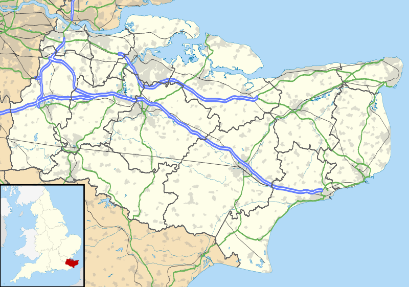
Map of Kent, UK with the following information shown:
Equirectangular map projection on WGS 84 datum, with N/S stretched 160% Geographic limits:
|
| Data | |
| Origem |
|
| Autor | Nilfanion, created using Ordnance Survey data |
| Permissão (Reutilizar este ficheiro) |
A utilização deste ficheiro é regulada nos termos da licença Creative Commons - Atribuição-CompartilhaIgual 3.0 Não Adaptada. Atribuição: Contains Ordnance Survey data © Crown copyright and database right
|
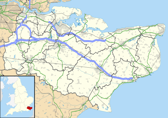
| Outras versões | File:Kent UK district map (blank).svg - Blank map |
.svg)
Histórico do ficheiro
Clique uma data e hora para ver o ficheiro tal como ele se encontrava nessa altura.
| Data e hora | Miniatura | Dimensões | Utilizador | Comentário | |
|---|---|---|---|---|---|
| atual | 18h58min de 26 de setembro de 2010 | | 1 425 × 1 000 (2,11 MB) | Nilfanion | {{Information |Description=Map of Kent, UK with the following information shown: *Administrative borders *Coastline, lakes and rivers *Roads and railways *Urban areas Equirectangular map projection on WGS 84 datum, with N/S stretched 160% Geo |
Utilização local do ficheiro
A seguinte página usa este ficheiro:
Utilização global do ficheiro
As seguintes wikis usam este ficheiro:
- ar.wikipedia.org
- bg.wikipedia.org
- br.wikipedia.org
- ca.wikipedia.org
- ceb.wikipedia.org
- cs.wikipedia.org
- cy.wikipedia.org
- el.wikipedia.org
- en.wikipedia.org
- Lullingstone Roman Villa
- Dover
- Canterbury
- Chatham, Kent
- Dartford Crossing
- Hever Castle
- Leeds Castle
- Sandwich, Kent
- Folkestone
- Minster-in-Thanet
- Aylesford
- Maidstone
- Rochester, Kent
- Snodland
- Romney Marsh
- Dover Castle
- Walmer Castle
- Walmer
- Wye, Kent
- Isle of Sheppey
- Bedgebury National Pinetum
- Gravesend
- Eythorne
- Ramsgate
- Herne Bay
- Sevenoaks
- Tonbridge
- Stansted, Kent
- Royal Tunbridge Wells
- Ashford, Kent
- Broadstairs
- Hythe, Kent
- Queenborough
- New Romney
- Whitstable
- Otford
- Paddock Wood
- Knole
Ver mais utilizações globais deste ficheiro.