
Ficheiro:Bay of Bengal location map simple.svg

Dimensões desta antevisão em PNG do ficheiro SVG: 370 × 383 píxeis Outras resoluções: 232 × 240 píxeis | 464 × 480 píxeis | 742 × 768 píxeis | 989 × 1 024 píxeis | 1 978 × 2 048 píxeis.
Imagem numa resolução maior (ficheiro SVG, de 370 × 383 píxeis, tamanho: 335 kB)
|
|
Esta imagem provém do Wikimedia Commons, um acervo de conteúdo livre da Wikimedia Foundation que pode ser utilizado por outros projetos.
|
Descrição do ficheiro
| Descrição |
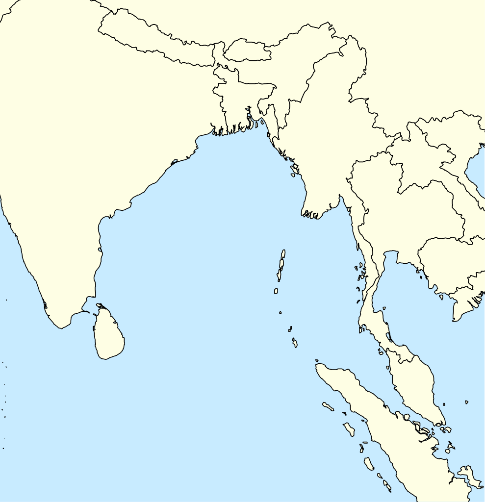
English: A basic map of the Bay of Bengal intended for use with locator templates.
Latitude extent: 31 to -4, longitude: 73.2 to 107. The coordinate system used is the equirectangular WGS 1984 (it makes it very easy to handle with the locator templates, but it's not really suitable for other uses). |
| Data | |
| Origem | Obra do próprio |
| Autor | Uanfala |
Licenciamento
Eu, titular dos direitos de autor desta obra, publico-a com a seguinte licença:
A utilização deste ficheiro é regulada nos termos da licença Creative Commons Atribuição-CompartilhaIgual 4.0 Internacional.
- Pode:
- partilhar – copiar, distribuir e transmitir a obra
- recombinar – criar obras derivadas
- De acordo com as seguintes condições:
- atribuição – Tem de fazer a devida atribuição da autoria, fornecer uma hiperligação para a licença e indicar se foram feitas alterações. Pode fazê-lo de qualquer forma razoável, mas não de forma a sugerir que o licenciador o apoia ou subscreve o seu uso da obra.
- partilha nos termos da mesma licença – Se remisturar, transformar ou ampliar o conteúdo, tem de distribuir as suas contribuições com a mesma licença ou uma licença compatível com a original.
Histórico do ficheiro
Clique uma data e hora para ver o ficheiro tal como ele se encontrava nessa altura.
| Data e hora | Miniatura | Dimensões | Utilizador | Comentário | |
|---|---|---|---|---|---|
| atual | 05h29min de 7 de abril de 2019 | | 370 × 383 (335 kB) | Uanfala | User created page with UploadWizard |
Utilização local do ficheiro
A seguinte página usa este ficheiro:
Utilização global do ficheiro
As seguintes wikis usam este ficheiro:
- bn.wikipedia.org
- en.wikipedia.org
- Banda Aceh
- Car Nicobar
- Port Blair
- North Andaman Island
- Little Andaman
- Great Nicobar Island
- Nancowry Island
- Trinket Island
- Middle Andaman Island
- Ten Degree Channel
- Barren Island (Andaman Islands)
- Car language
- Nicobar district
- Diglipur
- Mayabunder
- Narcondam Island
- Sabang, Aceh
- Weh Island
- Sentinelese language
- Coco Islands
- Little Nicobar
- Ross Island, South Andaman district
- Shompen language
- Kamorta, Nancowry
- Chaura language
- Maimun Saleh Airport
- Campbell Bay, Great Nicobar
- Duncan Passage
- Teressa language
- Southern Nicobarese language
- Preparis
- 1762 Arakan earthquake
- North Brother Island (Andaman Islands)
- North Cinque Island
- Rondo Island
- Landfall Island
- Alukian
- Man Island (Nicobar Islands)
- Meroe Island
- Cleugh Passage
- Murga Island
- Long Island (Andaman Islands)
- North Passage Island
- Napier Bay Islands
- Little Andaman Group
- Breueh Island
Ver mais utilizações globais deste ficheiro.