
Ficheiro:Blank US Map, striped.svg

Imagem numa resolução maior (ficheiro SVG, de 959 × 593 píxeis, tamanho: 94 kB)
|
|
Esta imagem provém do Wikimedia Commons, um acervo de conteúdo livre da Wikimedia Foundation que pode ser utilizado por outros projetos.
|
Descrição do ficheiro
| Descrição |
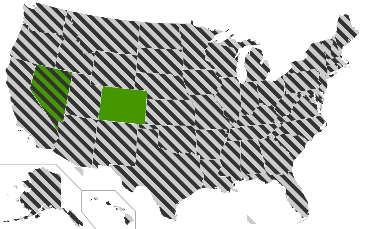
A blank map of the United States with the states striped allowing for derivatives to be easily made using CSS styles. All of the paths states in the file has been assigned an id consisting of the two letter abreviation for that state in order to enable easy editing using a text editor. The striping in neighbouring states have been made not to align on purpose since this makes it easier to distinguish the individual states. The state with a solid colour is also striped but provided as solid to give a code example for how to use this as a basis for a map with both solid and striped states. The circle on DC can be turned of by changing the For a practical application please see Same-sex marriage in the United States.svg
|
| Data | |
| Origem | This version was made by Lokal_Profil using Inkscape and a text editor and is based on Blank US Map.svg by User:Theshibboleth. |
| Autor | Lokal_Profil |
| Permissão (Reutilizar este ficheiro) |
A utilização deste ficheiro é regulada nos termos da licença Creative Commons - Atribuição-CompartilhaIgual 2.5 Genérica. Atribuição: Lokal_Profil
|
| Outras versões |
Obras derivadas deste ficheiro: |
| SVG desenvolvimento | O código-fonte desta imagem SVG é inválido devido a um erro. Esta carta geográfica inválida foi criada com o Other tools |
Histórico do ficheiro
Clique uma data e hora para ver o ficheiro tal como ele se encontrava nessa altura.
| Data e hora | Miniatura | Dimensões | Utilizador | Comentário | |
|---|---|---|---|---|---|
| atual | 07h59min de 29 de maio de 2009 | | 959 × 593 (94 kB) | Athelwulf | More human-readable. |
| 23h03min de 26 de maio de 2009 |  | 959 × 593 (94 kB) | Lokal Profil | {{Information |Description=A blank map of the United States with the states striped allowing for derivatives to be easily made using CSS styles. All of the paths states in the file has been assigned an id consisting of the two letter abreviation for that |
Utilização local do ficheiro
Não há nenhuma página que use este ficheiro.
Utilização global do ficheiro
As seguintes wikis usam este ficheiro: