
Ficheiro:Map of Perry County Ohio Highlighting Salt Lick Township.png
Sem resolução maior disponível.
Map_of_Perry_County_Ohio_Highlighting_Salt_Lick_Township.png (601 × 541 píxeis, tamanho: 23 kB, tipo MIME: image/png)
|
|
Esta imagem provém do Wikimedia Commons, um acervo de conteúdo livre da Wikimedia Foundation que pode ser utilizado por outros projetos.
|
| Descrição |
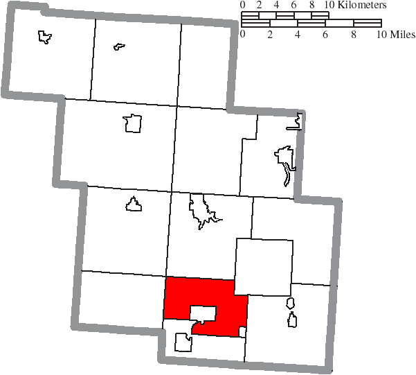
English: Map of the municipal and township boundaries of Perry County, Ohio, United States, as of the 2000 census, with the location of Salt Lick Township highlighted. Township borders are shown only in unincorporated areas in order to differentiate incorporated and unincorporated areas more clearly. |
| Data | |
| Origem | File:Map of Perry County Ohio With Municipal and Township Labels.PNG |
| Autor | Ruhrfisch and Nyttend |
| Permissão (Reutilizar este ficheiro) |
A utilização deste ficheiro é regulada nos termos da licença Creative Commons - Atribuição-CompartilhaIgual 3.0 Não Adaptada.
|
Histórico do ficheiro
Clique uma data e hora para ver o ficheiro tal como ele se encontrava nessa altura.
| Data e hora | Miniatura | Dimensões | Utilizador | Comentário | |
|---|---|---|---|---|---|
| atual | 12h33min de 18 de agosto de 2015 | | 601 × 541 (23 kB) | Nyttend | {{Information |Description={{en|Map of the municipal and township boundaries of {{w|Perry County, Ohio|Perry County}}, {{w|Ohio}}, {{w|United States}}, as of the 2000 census, with the location of {{w|Salt Lick Township, Perry County, Ohio|Salt Lick Tow... |
Utilização local do ficheiro
A seguinte página usa este ficheiro:
Utilização global do ficheiro
As seguintes wikis usam este ficheiro:
- en.wikipedia.org
- eu.wikipedia.org
- fa.wikipedia.org
- www.wikidata.org
- zh.wikipedia.org