
Ficheiro:NC 68.svg

Dimensões desta antevisão em PNG do ficheiro SVG: 600 × 600 píxeis Outras resoluções: 240 × 240 píxeis | 480 × 480 píxeis | 768 × 768 píxeis | 1 024 × 1 024 píxeis | 2 048 × 2 048 píxeis.
Imagem numa resolução maior (ficheiro SVG, de 600 × 600 píxeis, tamanho: 6 kB)
|
|
Esta imagem provém do Wikimedia Commons, um acervo de conteúdo livre da Wikimedia Foundation que pode ser utilizado por outros projetos.
|
Descrição do ficheiro
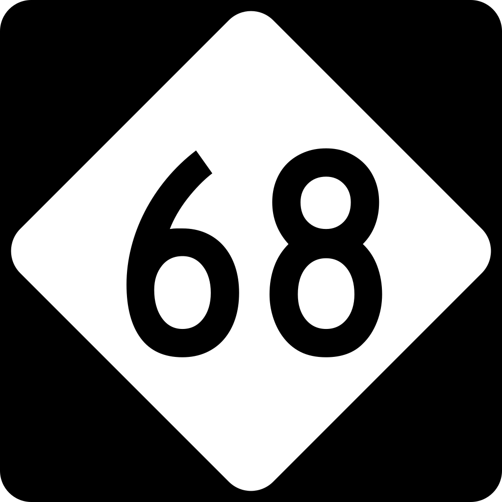
| Descrição | 600 mm by 600 mm (24 in by 24 in) North Carolina highway shield, made to the specifications of the Manual on Uniform Traffic Control Devices (MUTCD), 2003 Edition (sign M1-5). Uses the Roadgeek 2005 fonts. (United States law does not permit the copyrighting of typeface designs, and the fonts are meant to be copies of a U.S. Government-produced work anyway.) |
| Data | |
| Origem | Obra do próprio |
| Autor | TwinsMetsFan |
| Permissão (Reutilizar este ficheiro) |
Public Domain |
Licenciamento
This file is in the public domain because it comes from the North Carolina Supplement to the Manual on Uniform Traffic Control Devices, sign number M1-5, which states on p. I-2 that North Carolina has "adopted and incorporated" the federal Manual on Uniform Traffic Control Devices in its totality except for the "standards for all traffic control devices applicable to North Carolina not contained in the MUTCD". The federal MUTCD states specifically on its page I-1 that:
No provisions of the supplement supersede this provision of the MUTCD. |
Histórico do ficheiro
Clique uma data e hora para ver o ficheiro tal como ele se encontrava nessa altura.
| Data e hora | Miniatura | Dimensões | Utilizador | Comentário | |
|---|---|---|---|---|---|
| atual | 20h45min de 14 de setembro de 2006 | | 600 × 600 (6 kB) | TwinsMetsFan | {{Information |Description=600 mm by 600 mm (24 in by 24 in) North Carolina highway shield, made to the specifications of the Manual on Uniform Traffic Control Devices (MUTCD), 2003 Edition (sign M1-5). Uses the Roadgeek 2005 fonts. (United States law doe |
Utilização local do ficheiro
A seguinte página usa este ficheiro:
Utilização global do ficheiro
As seguintes wikis usam este ficheiro:
- en.wikipedia.org
- Rockingham County, North Carolina
- Guilford County, North Carolina
- Davidson County, North Carolina
- Interstate 73
- High Point, North Carolina
- U.S. Route 158
- Interstate 85 Business (North Carolina)
- North Carolina Highway 67
- North Carolina Highway 150
- List of highways numbered 68
- Interstate 74 in North Carolina
- Interstate 40 in North Carolina
- Wikipedia:WikiProject U.S. Roads/Redirects/North Carolina/1-99
- User:MPD01605/Exit lists
- North Carolina Highway 69
- Interstate 73 in North Carolina
- North Carolina Highway 68
- U.S. Route 70 in North Carolina
- U.S. Route 220 in North Carolina
- U.S. Route 29 in North Carolina
- North Carolina Highway 65
- List of state highways in North Carolina
- User:Ncchild/Interstate 40
- Talk:Interstate 40/Archive 2
- Talk:Interstate 40 in North Carolina/Archive 1
- es.wikipedia.org
- fr.wikipedia.org
- ja.wikipedia.org
- ru.wikipedia.org
- simple.wikipedia.org
- zh-min-nan.wikipedia.org