
Ficheiro:New York's Finger Lakes.jpg

Dimensões desta antevisão: 800 × 554 píxeis. Outras resoluções: 320 × 222 píxeis | 640 × 444 píxeis | 1 000 × 693 píxeis.
Imagem numa resolução maior (1 000 × 693 píxeis, tamanho: 952 kB, tipo MIME: image/jpeg)
|
|
Esta imagem provém do Wikimedia Commons, um acervo de conteúdo livre da Wikimedia Foundation que pode ser utilizado por outros projetos.
|
| Descrição |
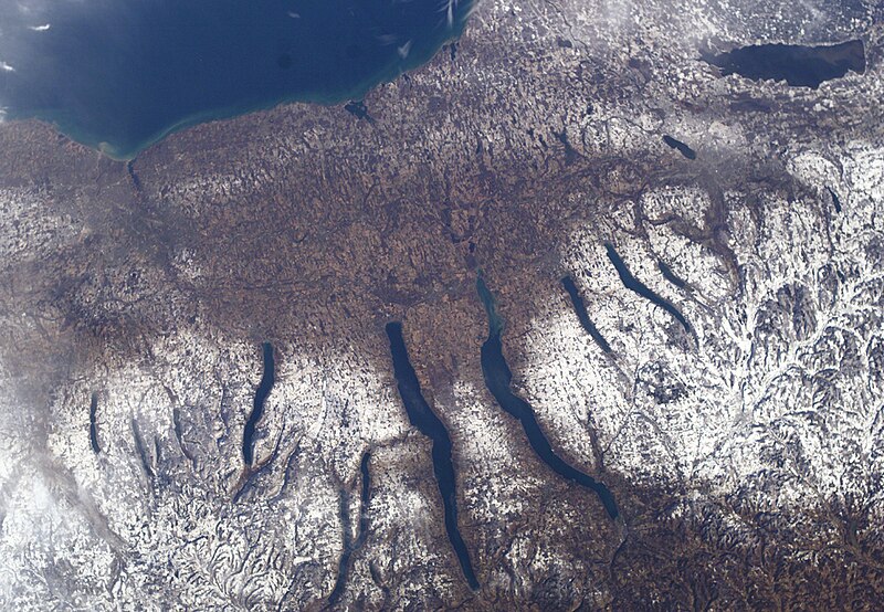
New York's Finger Lakes |
| Data | |
| Origem | NASA |
| Autor | NASA |
Este(a) imagem ou vídeo foi catalogado(a) por um dos centros dos Estados Unidos da América para a Administração Nacional da Aeronáutica e do Espaço (NASA), sobre o código ID: ISS010-E-9366. Esta marcação não indica o estado dos direitos de autor da obra aqui mostrada. Continua a ser necessária uma marcação normal de direitos de autor. Veja Commons:Licenciamento para mais informações. Outras línguas:
|
| Este ficheiro está no domínio público nos Estados Unidos porque foi criado exclusivamente pela NASA. As orientações sobre o direito de autor da NASA são que «as obras da NASA não têm os direitos de autor protegidos salvo indicação em contrário». Veja Template:PD-USGov, as orientações sobre o direito de autor da NASA ou as normas de uso de imagens do Laboratório de Propulsão a Jato (Jet Propulsion Lab, JPL). | ||
 |
Avisos:
|
Histórico do ficheiro
Clique uma data e hora para ver o ficheiro tal como ele se encontrava nessa altura.
| Data e hora | Miniatura | Dimensões | Utilizador | Comentário | |
|---|---|---|---|---|---|
| atual | 03h39min de 24 de dezembro de 2004 | | 1 000 × 693 (952 kB) | Chris 73 | nasa |
Utilização local do ficheiro
A seguinte página usa este ficheiro:
Utilização global do ficheiro
As seguintes wikis usam este ficheiro:
- ar.wikipedia.org
- azb.wikipedia.org
- bg.wikipedia.org
- ca.wikipedia.org
- cs.wikipedia.org
- de.wikipedia.org
- en.wikipedia.org
- en.wikivoyage.org
- es.wikipedia.org
- fa.wikipedia.org
- fr.wikipedia.org
- he.wikipedia.org
- he.wikivoyage.org
- it.wikipedia.org
- ja.wikipedia.org
- lfn.wikipedia.org
- ml.wikipedia.org
- mr.wikipedia.org
- nl.wikipedia.org
- pl.wikipedia.org
- ru.wikipedia.org
- simple.wikipedia.org
- sv.wikipedia.org
- ta.wikipedia.org
- uk.wikipedia.org
- vi.wikipedia.org
- www.wikidata.org
- zh.wikivoyage.org