
Ficheiro:Puerto-Soledad.PNG
Dimensões desta antevisão: 800 × 572 píxeis. Outras resoluções: 320 × 229 píxeis | 640 × 457 píxeis | 1 024 × 732 píxeis | 1 280 × 915 píxeis | 2 560 × 1 829 píxeis | 3 835 × 2 740 píxeis.
Imagem numa resolução maior (3 835 × 2 740 píxeis, tamanho: 228 kB, tipo MIME: image/png)
|
|
Esta imagem provém do Wikimedia Commons, um acervo de conteúdo livre da Wikimedia Foundation que pode ser utilizado por outros projetos.
|
Descrição do ficheiro
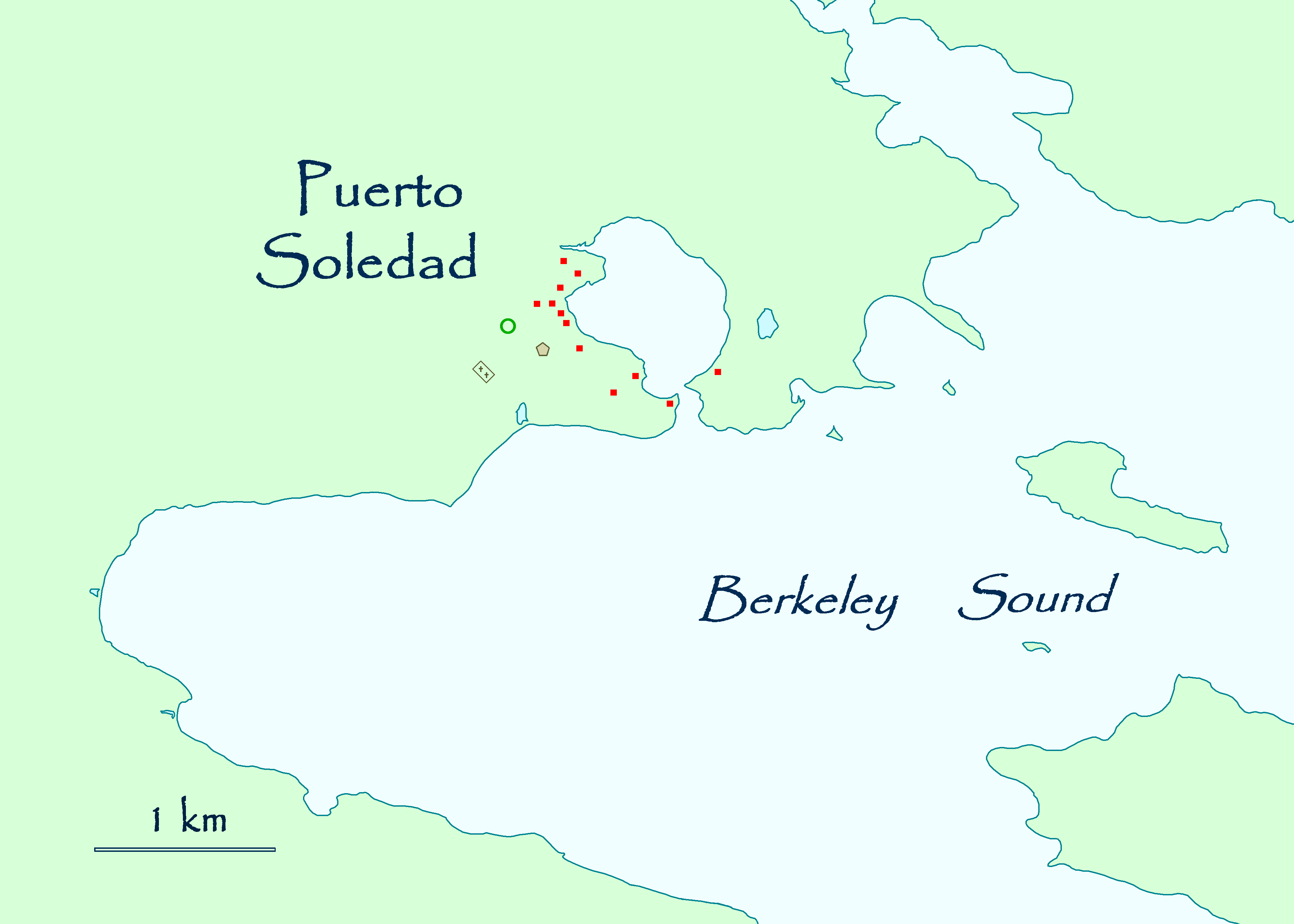
| Descrição | Map of the historical settlement of Puerto Soledad, Falkland Islands. |
| Data | |
| Origem | Obra do próprio |
| Autor | Apcbg |
Licenciamento
| Eu, titular dos direitos de autor desta obra, dedico-a ao domínio público, com aplicação em todo o mundo. Nalguns países isto pode não ser legalmente possível; se assim for: Concedo a todos o direito de usar esta obra para qualquer fim, sem quaisquer condições, a menos que tais condições sejam impostas por lei. |
Histórico do ficheiro
Clique uma data e hora para ver o ficheiro tal como ele se encontrava nessa altura.
| Data e hora | Miniatura | Dimensões | Utilizador | Comentário | |
|---|---|---|---|---|---|
| atual | 13h49min de 23 de outubro de 2007 | | 3 835 × 2 740 (228 kB) | Apcbg | == Summary == {{Information |Description=Map of the historical settlement of Puerto Soledad, Falkland Islands. |Source=self-made |Date=October 23, 2007 |Author= Apcbg }} == Licensing == {{PD-self}} |
| 13h13min de 23 de outubro de 2007 |  | 3 835 × 2 740 (228 kB) | Apcbg | == Summary == {{Information |Description=Map of the historical settlement of Puerto Soledad, Falkland Islands. |Source=self-made |Date=October 23, 2007 |Author= Apcbg }} == Licensing == {{PD-self}} | |
| 12h55min de 23 de outubro de 2007 |  | 3 631 × 2 591 (210 kB) | Apcbg | {{Information |Description=Map of the historical settlement of Puerto Soledad, Falkland Islands. |Source=self-made |Date=October 23, 2007 |Author= Apcbg }} |
Utilização local do ficheiro
A seguinte página usa este ficheiro:
Utilização global do ficheiro
As seguintes wikis usam este ficheiro:
- ar.wikipedia.org
- en.wikipedia.org
- es.wikipedia.org
- fr.wikipedia.org
- no.wikipedia.org
- sh.wikipedia.org
- www.wikidata.org